
Maps – Vietnam and Nui Dat
Here are some maps to help you understand Vietnam during the Vietnam War and the general area of operations for the 1st Australian Task Force in Phuoc Tuy Province and the Task Force base at Nui Dat. [Click images for larger versions]
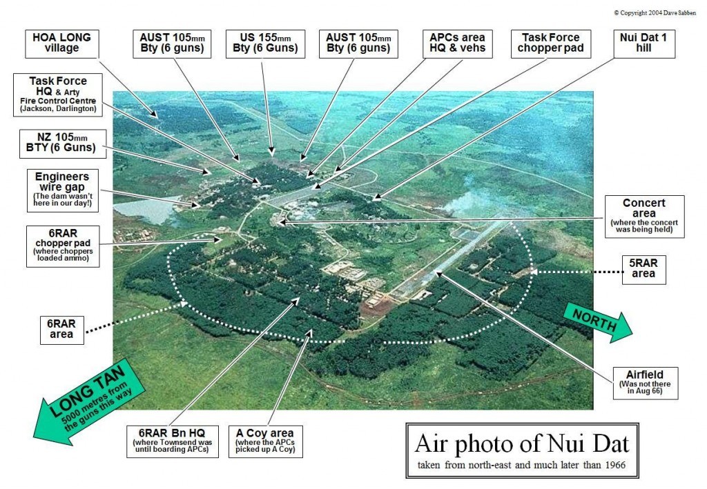
An aerial view of Nui Dat from 1971 showing “The Hill” at centre, Kanga Pad top left and Luscombe airstrip to right. Note the foliage denuded by the herbicide Agent Orange around the camp. Outside perimeter of the camp was about 12km. Credit: Dave Sabben.
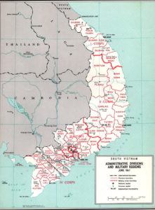
US MILITARY ZONES IN SOUTH VIETNAM. PHUOC TUY PROVINCE IS EAST SOUTH EAST OF SAIGON:
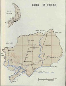
PHOUC TUY PROVINCE FOR WHICH AUSTRALIAN AND NZ FORCES WERE RESPONSIBLE:
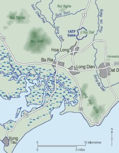
Nui Dat is situated to the NE of the then and now city of Ba Ria in the heart of Viet Cong territory. Other Australian forces were located at a logistics base at Vung Tau on the coast to the SW.
NUI DAT LOCATIONS MAP:
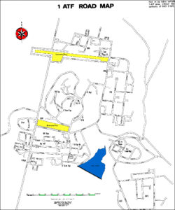
HQ 1 ATF AREA MAP. 104 SIGNAL SQUADRON WAS LOCATED ADJACENT TO KANGAROO PAD:
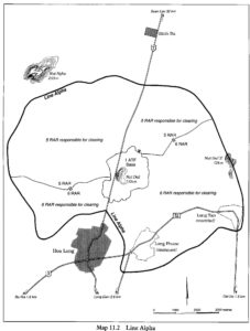
1ATF LINE ALPHA (5,000 metre exclusion zone around the Nui Dat base):


Facebook Comments